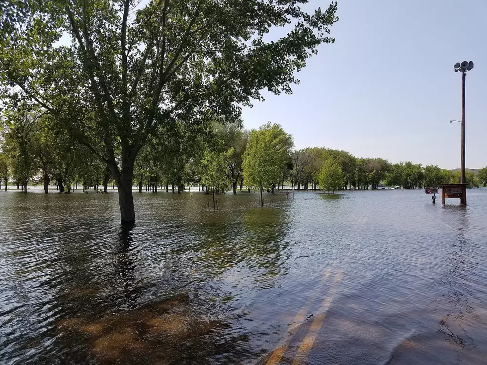
![Storms Cause Flooding, Fires Around Sioux Falls Area [PHOTOS]](http://townsquare.media/site/486/files/2013/05/yankton-trail-park-5-26-630x470.jpg?w=980&q=75)
Storms Cause Flooding, Fires Around Sioux Falls Area [PHOTOS]
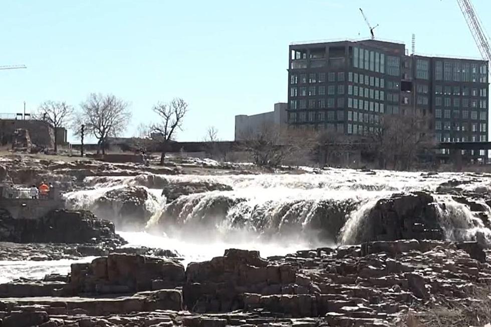
The National Weather Service reported just under three inches of rain 'officially' at Sioux Falls Regional Airport late Saturday night/early Sunday morning, but on the southern end of the city, many people are reporting 5-6 inches of rain in their rain gauges.
Wide spread flooding was reported across the area as strong storms moved through starting shortly after 10pm Saturday night. Intersections at 49th & Louise and 41st and Western were under water and caused vehicles to stall. Sump pumps were unable to keep up as many people are waking up this morning to flooded basements.
The lightning also is being blamed for at least three house fires around the area. Luckily no one was injured in the fires.
It doesn't look like things will be drying out anytime soon as the National Weather Service is calling for thunderstorms with heavy rain possible for late Sunday night through the Memorial Day holiday Monday, and looking at their extended forecast, at least a 30% chance (and in many cases up to 80% chance) of showers and thunderstorms through next weekend.
A flood warning for Sioux Falls remains in effect through Monday night (May 27) The latest forecasts are predicting up to another three inches of rain starting overnight.
At least everything will be green...under all that water.
More From KKRC-FM / 97.3 KKRC